
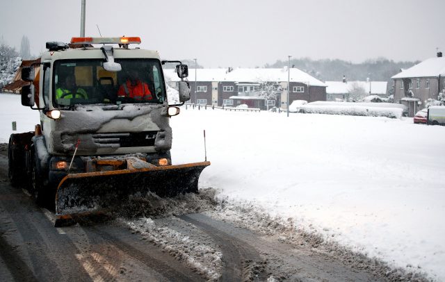
Motorists are being warned of havoc on the roads on Monday as snow turns into ice following a weekend wintry blast.
Hundreds of schools are due to be closed at the start of the working week following a cold night which saw temperatures drop as low as -11.6C (11F) in some parts of the country.
A chilly day is forecast for Glasgow and its surrounding areas.
Here's a snapshot of the current temperatures. the lowest we saw last night was -11.3 at Dalwhinnie in the S Highlands. -11.2 Eskdalemuir in Dumfriesshire pic.twitter.com/949eBZaLgL
— BBC Scotland Weather (@BBCScotWeather) December 11, 2017
The Met Office said: "There will be scattered wintry showers at first then a mainly dry, bright and cold day. The maximum temperature will be 4°C."
Of tonight's outlook, the weather service added: "Showers, wintry over high ground, will die away overnight. However, there will be a widespread frost, and maybe some icy stretches, which will will develop under clearing skies. Minimum temperature will drop to -6°C."
A cold night ahead and another cold day for most tomorrow. Here's Christopher with the latest. pic.twitter.com/naAHtQ2r7X
— BBC Scotland Weather (@BBCScotWeather) December 10, 2017
Met Office meteorologist Alex Burkill said Saturday night was the coldest of 2017 so far with the mercury plummeting to as low as -12.4C in some parts.
He added: "We could well beat that tonight and could go as low as -12C and even -15C."
Pete Williams, the RAC’s road safety spokesman, said they are expecting 11,000 breakdowns on Monday across Britain, a figure which is 20% above the seasonal norm.
Be #winterready Top tips to help you avoid a breakdown or an accident in the #ice and #uksnow #takecare @metoffice https://t.co/MJGLz6RxqC pic.twitter.com/ynd1R95Fdh
— RAC Press Team (@RACPress) December 10, 2017
“I think the big thing is people are not going to leave enough time,” he said.
“Journeys will take two to three times longer.
“It’s going to be treacherous driving conditions.”
 (Nick Potts/PA)
He said low overnight temperatures could cause black ice and urged people to drive slowly, leaving plenty of space between them and the car in front.


Comments & Moderation
Readers’ comments: You are personally liable for the content of any comments you upload to this website, so please act responsibly. We do not pre-moderate or monitor readers’ comments appearing on our websites, but we do post-moderate in response to complaints we receive or otherwise when a potential problem comes to our attention. You can make a complaint by using the ‘report this post’ link . We may then apply our discretion under the user terms to amend or delete comments.
Post moderation is undertaken full-time 9am-6pm on weekdays, and on a part-time basis outwith those hours.
Read the rules here